Tuesday, September 11, 2012

Lime Creek Canyon South Rim


Lime Creek Canyon is one of the southernmost canyons of the Cedar Mesa area of southeast Utah. The access roads are south of the Kane Gulch Ranger Station along Utah Route 261.

I started at the dirt road that is 13.1 miles south of the Ranger Station. From the rocky outcrop hilltop ruins site that is near a road junction, it took me about 0:20 minutes to walk to the south rim. (See the previous post for the hilltop ruins views.)


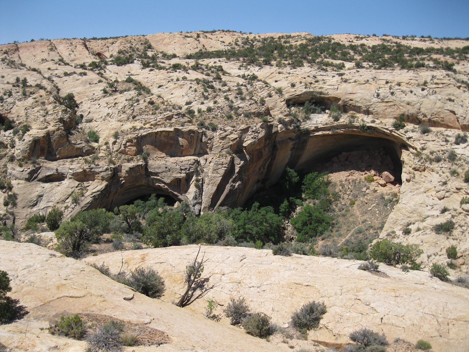
It is possible to hike at the bottom of the canyon, but there are small ruins sites visible near the top of the north rim canyon walls that probably aren’t visible from below.


You need binoculars to spot the small ruins sites. Even if you can’t find them, the Lime Creek Canyon is very scenic. In the upper part of the canyon, I couldn't see any water flowing below.


More or less across from the rocky hilltop near where I started, there is a small two or three room ruin in the first small alcove below the rim.


In this area, there are two short side canyons to walk around. Ahead, on a ledge near the rim on the right, there is a scatter of boulders. There are small structures hidden on the ledge on each side on the boulders.


These shadow hidden sites look mostly like storage sites. It looks like the ledge would be hard for the residents to access, but maybe a ladder by the boulders was possible.


Further on, there are some eroded needle-like formations visible. To the right of the needles on a ledge near the top, there is a small structure visible. I turned around here after 2:30 hours of hiking. There are some alcoves visible down canyon further to the right that appear to be likely sites, but I couldn't tell. Along this section of canyon I saw three definite ruins sites and one or two others that I couldn't tell for sure.


On the return hike I cut through the forest toward the rocky hilltops where the dirt road ended. My return hike took 1:20 hours for a total hike 3:50 hours for about 5.8 miles. It was an early September day, about 70 F degrees in the morning and about 80 F in the afternoon. I carried and drank 3 liters of water. I didn't see any other hikers during my hike.


Tuesday, July 3, 2012

Harts Draw Scenic Route-Blue Mountains


The Harts Draw Scenic Route travels west from Monticello, Utah up along the north side of the Blue or Abajo Mountains in southeast Utah. It passes several campgrounds and small lakes before turning north and descending to intersect Utah Route 211, the route to the Needles District of Canyonlands National Park.

The total route distance is about 20 miles. The west turn from Highway 191 is at the Monticello Visitor Information Center.


At a high point before the north turn, there is a lookout point with two interpretive signs and sighting tubes pointing out some of the Canyonlands features that are visible in the distance.


One of the sighting tubes points to the Shay Mountains. One of the interpretive signs describes Mountain Building. Magma bulged up under the sandstone surface 27.9 to 25 million years ago. The overlying sandstone has mostly eroded away leaving the igneous rock to form the peaks.


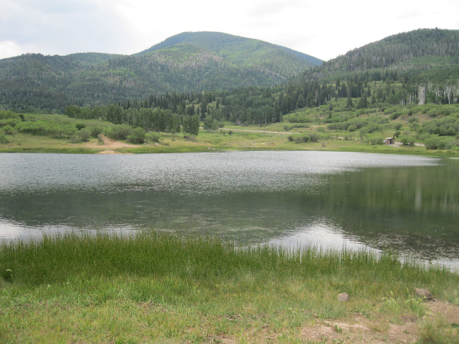
About 2 miles east of the lookout point is the small Monticello Lake. It is possible to walk all the way around this small lake and get views of the north side of the Blue Mountains. North, behind the lake there is a deep canyon with sandstone bluffs on the west side.


I tried a hike along the road marked as Forest Road 105 that makes a junction with the Harts Draw Road at Monticello Lake. This road travels north and passes through foothills vegetation of sagebrush, Pinon Pines, Juniper, Gambel Oak and Serviceberry, with a few Ponderosa Pines. In the distance the mountain hillsides with Aspens, Spruce and Fir are visible.


In the distance to the north, some of the Canyonlands area formations would be visible if it were a clear day. There are several side roads along the main forest road. Some of them are marked as ATV routes.


I walked about 2 miles north on the forest roads and returned to Monticello Lake. My total hike was for 2:45 hours for about 5 miles. 


Groups of wild turkeys are frequently sighted along this scenic route. It was a 75 F degree early July day. I carried and drank 3 liters of water. In early July 2012, Forest Road 79 that leads to the Red Ledges Trail area was closed during the week for roadwork.


Wednesday, May 16, 2012

Posey’s Trail on Comb Ridge


Posey’s Trail is the maintained county road on top of the north section of Comb Ridge, west of Blanding in southeast Utah. From Blanding, heading west on Utah 95, turn north on the well marked Cottonwood Forest Road, and after 0.9 miles turn west.

The Posey’s Trail is marked as Road 240, and is 4.7 miles after the west turn. The unmarked trailhead for the Tower Ruin Trail is about 0.5 miles back east from Posey’s Trail.


After about 0:40 minutes of slow hiking the road passes very close to the west edge of Comb Ridge and there are spectacular views up and down Comb Wash. In mid May, there were many wildflowers in bloom in this area.

The road visible below leads from the Arch Canyon trailhead area and it is possible to hike to Posey’s Trail from there. The road that climbs up is too rough for most vehicles. Besides the views, there is some rock art and an arch along that route.


Visible to the west, sticking up from the mesa top area is Hotel Rock, a ruins site. There is a rough 4WD road leading there and it is  feasible to hike there. I scanned the side canyons below with binoculars but didn't notice any other ruins sites.


Arch Canyon is the major feature below. Walnut Knob is visible but is hard to pick out. 


After about 1:15 hours of hiking, about 2.5 miles, I came to an unexpected trail junction. The main trail continues south, maybe two more miles. The minor side trail leads east across the upper part of the west side canyon off of Butler Wash. On the other side, the trail then turns south. It looks like ATVs use this route and maybe horse riders.


Continuing south, there are a series of large alcoves across the canyon. I scanned this first group, and there might be some wall fragments visible. There are trails visible on the canyon bottom and along some of the ledges that lead to the alcoves. From where I was viewing, it was too steep to descend and approach these alcoves.


A second group of alcoves is a short distance further south. The largest alcove has a wall section visible in the shadows. There are trails visible here also. I didn't recognize this site at first, but this is the Ballroom Cave. From above, all the interior detail is invisible.


The view into a third group of alcoves is obscured by trees. I couldn’t see any structures along the edges where there is some visibility. But this is the Target Ruin site. This view shows the trail leading up to it from the main trail. The large visible alcove has some small structures and the Target site is just to the right, out of sight. The south end of Posey’s Trail should be in the area above these alcoves. 


I turned around here after 2:30 hours. This trail leads toward the Upper Butler Wash Trail but I don’t know where it connects.  My return hike took 2:30 hours for a total hike of 5:00 hours for about 8 miles. It was 60 F degrees at my 10:00 AM start and 78 F at the 3:00 PM finish. I carried and drank 3 liters of water.


Tuesday, May 15, 2012

Cedar Mesa May Wildflowers


Posey’s Trail on top of the north end of Comb Ridge in southeast Utah is known for the spectacular views overlooking Comb Wash and Arch Canyon, but in mid May there was also a very good display of the desert wildflowers.


The most noticeable flowering shrubs were the yellow flowers of Cliffrose in the Rose Family. These were very common along the road while traveling to the trailhead. The shrub to the left is the Roundleaf Buffaloberry in the Oleaster Family. The Roundleaf Buffaloberry is common in the Cedar Mesa area, but I don’t see it very much in other canyon areas of the Four Corners region.


I think this yellow tubular flower is in the Lithospermum genus of the Borage or Forget-Me-Not Family. There are several species in this group and they are commonly called Puccoons.


This four petaled white flower, along the sandy edges of the trail, looks like an Evening Primrose.


One of the most colorful flowers in the Four Corners is the Miribilis in the Four-O’clock Family.


I only saw one Sego Lilly or Mariposa Lilly growing along the trail.


There were many Prickly Pear Cacti along the way, but this was the best group with flowers.


Another colorful flower is the Indian Paintbrush in the Snapdragon Family. There are several species of these all around the Four Corners.


Both the Narrowleaf Yucca and Banana Leaf Yucca were in bloom in this area.


I thought this yellow flower resembled Prince’s Plume in the Mustard Family, but wasn't the best example. My hike was on May 14. This date is getting close the too warm part of the hiking season on Cedar Mesa and there were some of the dreaded June biting gnats out during the warm afternoon.

Tuesday, March 6, 2012

Comb Ridge North of Cold Spring Cave

The Cold Spring Cave Trail is one of the better known routes in the otherwise obscure Comb Ridge area, a few miles west of Bluff in southeast Utah. On this hike I was exploring the area just to the north of Cold Spring. I parked along the main Butler Wash Road 8.3 miles north of the south gate.


From this starting point there is an old fence where I found cow trails to follow toward and across Butler Wash. I was heading for the small canyon that is north of the large patch of desert vegetation that covers the lower slope of the otherwise bare Navajo sandstone of Comb Ridge. On a previous hike I had noticed a small storage sized structure from the rim overlooking this small canyon.


This small site appears to be very well preserved and is nicely protected in a small south facing alcove. The walk up this small canyon was easy and it took me about 0:40 minutes to arrive here. There is another alcove at the head of this canyon that had some piles of rocks but didn't appear to be a ruins site.


To the east of the well preserved ruin there is a rough constructed rock wall. There is a climbable slope on the north side of this canyon and I continued to hike north to the rim of the next canyon. I scanned the next canyon with binoculars but didn't notice anything, so I continued around the canyon head to the next rim. The sandstone rock surfaces are mostly smooth and easy to walk on.


I was surprised to find two large alcoves with ruins spaced a couple of hundred yards apart. This is a view of the more eastern of the two. There is a fairly easy ramp leading down directly across from this site. I was 1:25 hours into my hike when I enjoyed this spectacular view. I hadn't been aware that there were ruins here and it was exciting to find these two sites.


The eastern down canyon site has a small structure that appears to be dry wall without any mortar. On each side there are some low walls still standing. On a boulder in front there are some grinding grooves with some minor petroglyphs alongside the grooves.

The up canyon site has a larger alcove to work with and has a larger standing structure. In early spring the trail between the sites has several pothole pools of water to step around.

Part of the front wall has collapsed but otherwise most of the large room has held together well. I checked the canyon wall approaching the right side of the alcove but didn’t notice any rock art.


The alcove behind the structure has some water seeping through the rocks and some maidenhair fern is growing on the rock walls.

Although these two sites are probably not as well known as others in the Comb Ridge area, there is a trail leading to them up the canyon. I followed this trail down canyon and there is one major pour off to get past. There is a wide ledge on the north side of the canyon that provides a route. In this view I’m on the ledge looking back at the pour off.

Like most of the Comb Ridge trails, there aren't many markers showing the way. Past the pour off down canyon, there is another large alcove that didn't appear to have any structures but I noticed some faint mountain sheep petroglyphs on the right edge. Near the canyon mouth, there is a trail junction with a path leading to a north arm of this small canyon system.

This trail has a side road leading to it off of the main Butler Wash Road. It is about 9.3 miles north of the south gate and was about 1 mile north of where I started my hike. In early March it was about 45 F degrees at 10:45 AM and about 60 F degrees at 2:05 PM. My total hike took 3:20 hours for about 5 miles. I carried and drank 2 liters of water.