John’s Canyon is tributary to the San Juan River downstream of the Goosenecks State Park in southeast Utah. The access is along County Road 244, a north turn off of Utah Route 316, the paved road that leads to the State Park. The access road passes below the Muley Point Lookout point on the southwest side of the Cedar Mesa area.
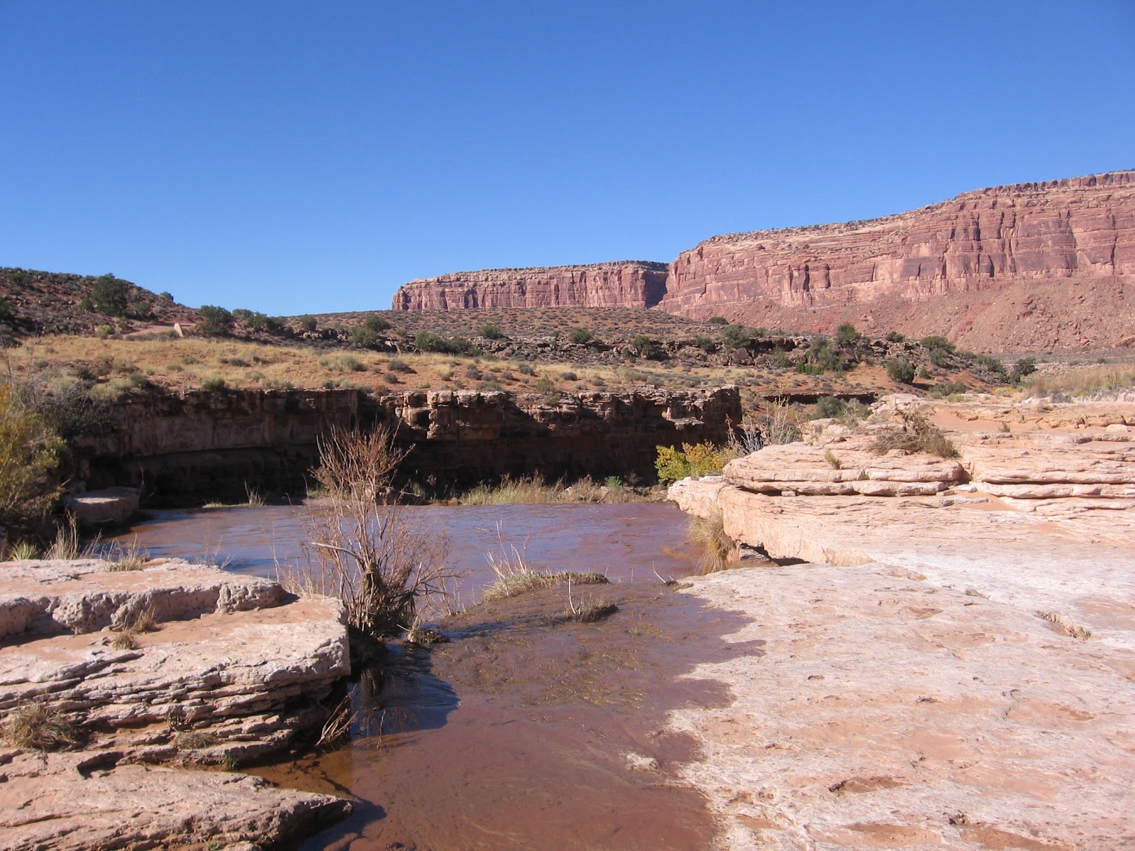
I drove 15 miles along County Road 244 to a flowing creek crossing and started hiking there. The road is drivable in a Subaru, but gets a little rougher the further you go. There is a metal gate to open and close after 7.0 miles. It took me about 1:00 hour to travel the 15 miles. I hiked west along the same road along the north rim of the inner canyon. It looks like a hiker could also hike down into the inner canyon or hike up canyon.
The attraction of the north rim is the several
petroglyph panels along the way. John’s Canyon, in this area, has some massive sandstone cliffs sitting of softer eroded layers. The level area has Mormon Tea, another desert shrub that I think is Blackbrush, Prickly Pear cactus, a few scattered Juniper trees, and some desert grasses. There are cottonwood trees near the flowing creek.
After about 1:00 hour of hiking there is a boulder with some petroglyph figures on the south and west faces. The south face had some sheep figures and the west face had what I thought were lion tracks.
The second panel that I saw arrived after 1:25 hours of hiking. The trail makes a curvy descent and the upright boulder is where the route straightens out. This panel has an assortment of figures. I didn’t see any ruins near these panels, but there are some possible rock shelter areas among these boulders.
Ten minutes past this site, practically within sight, is another boulder with art work on at least two faces, the most on the west face.
All of these boulders were close to and easy to spot from the trail.
These petroglyph sites are along the edge of the gradually deepening inner canyon. Down below there is some flowing water, but it doesn’t look like these is any easy access to the bottom. Directly across the canyon, the road into the area is visible.
I turned around after this third site. My return hike took 1:30 hours for a total hike of 3:40 hours for 7 or 8 miles. It was a 60 F degree early November day and I carried 3 liters of water. On the return drive I noticed another panel along the road a short distance west of the metal gate.