The Harts Draw Scenic Route travels west from Monticello, Utah up along the north side of the Blue or Abajo Mountains in southeast Utah. It passes several campgrounds and small lakes before turning north and descending to intersect Utah Route 211, the route to the Needles District of Canyonlands National Park.
The total route distance is about 20 miles. The west turn from Highway 191 is at the Monticello Visitor Information Center.

At a high point before the north turn, there is a lookout point with two interpretive signs and sighting tubes pointing out some of the Canyonlands features that are visible in the distance.

One of the sighting tubes points to the Shay Mountains. One of the interpretive signs describes Mountain Building. Magma bulged up under the sandstone surface 27.9 to 25 million years ago. The overlying sandstone has mostly eroded away leaving the igneous rock to form the peaks.
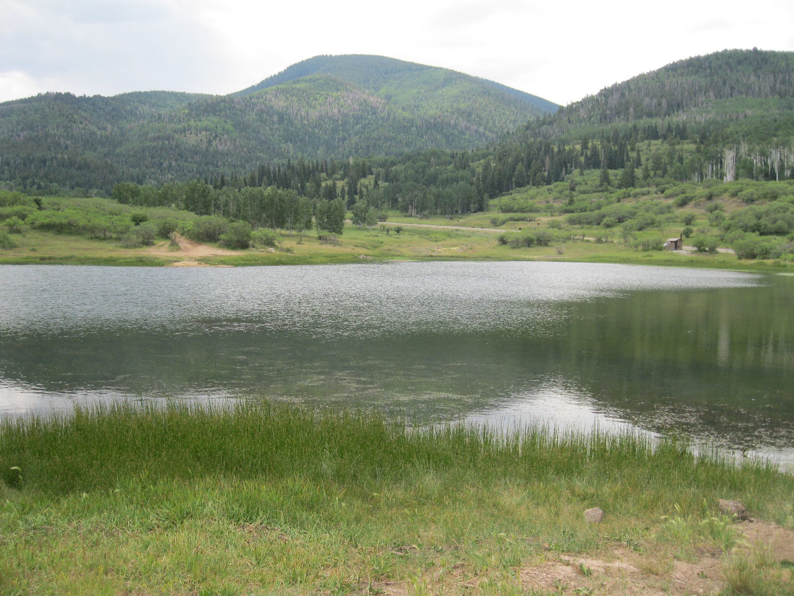
About 2 miles east of the lookout point is the small Monticello Lake. It is possible to walk all the way around this small lake and get views of the north side of the Blue Mountains. North, behind the lake there is a deep canyon with sandstone bluffs on the west side.

I tried a hike along the road marked as Forest Road 105 that makes a junction with the Harts Draw Road at Monticello Lake. This road travels north and passes through foothills vegetation of sagebrush, Pinon Pines, Juniper, Gambel Oak and Serviceberry, with a few Ponderosa Pines. In the distance the mountain hillsides with Aspens, Spruce and Fir are visible.

In the distance to the north, some of the Canyonlands area formations would be visible if it were a clear day. There are several side roads along the main forest road. Some of them are marked as ATV routes.

I walked about 2 miles north on the forest roads and returned to Monticello Lake. My total hike was for 2:45 hours for about 5 miles.

Groups of wild turkeys are frequently sighted along this scenic route. It was a 75 F degree early July day. I carried and drank 3 liters of water. In early July 2012, Forest Road 79 that leads to the Red Ledges Trail area was closed during the week for roadwork.
No comments:
Post a Comment